


Now Reading: Cedar Rapids Weather | News, Weather, Sports, Breaking News
-
01
Cedar Rapids Weather | News, Weather, Sports, Breaking News
Cedar Rapids Weather | News, Weather, Sports, Breaking News

Tonight: Isolated showers south, mostly cloudy
Temp: 68-73
Wind:NE 5-10 mph
Tomorrow: Morning storms south, partly sunny
Temp: 83-88
Wind:S 5-10 mph
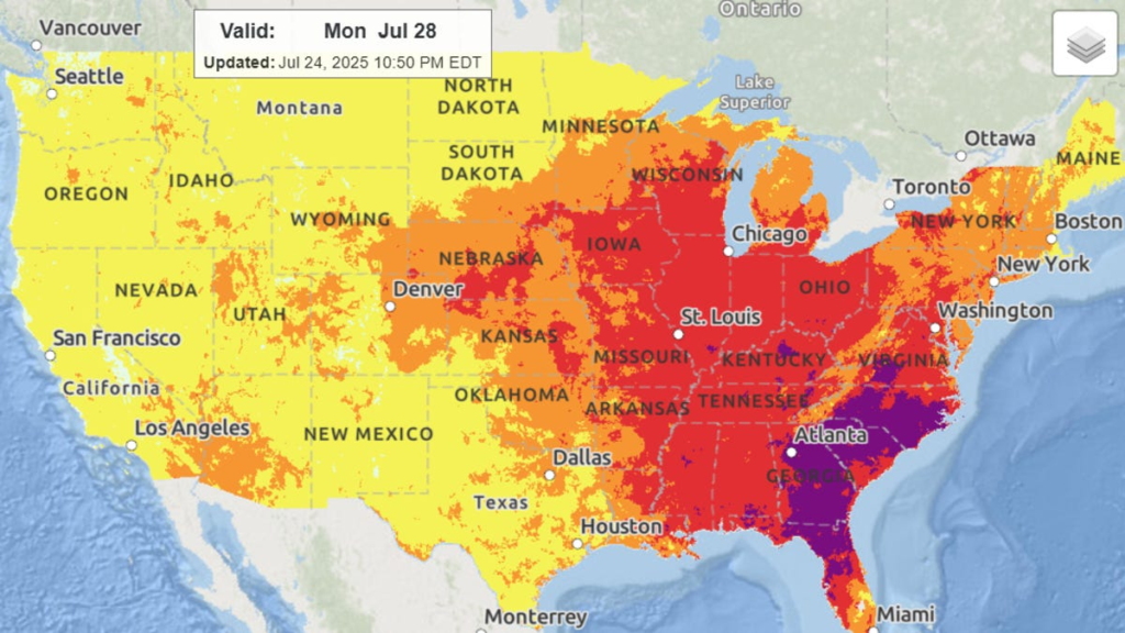
Dangerous heat back on the table starting Sunday before relief from the heat and humidity arrives late next week.
TONIGHT
Some isolated showers will occur as we continue through midnight. However, most of the area will remain with mostly cloudy skies until the early morning hours of Saturday. Lows will drop down the the lower 70s.
SATURDAY
More widespread storms will be possible especially south of Highway 30 starting from around 4:00 AM and lasting through the late morning hours. The primary threat with this morning storm system is heavy rain. As such flooding is a possibility with some of these storms. Once the storms clear out, the rest of Saturday looks to be nice with partly cloudy skies and highs into the mid to upper 80s.
SUNDAY
Winds turn out of the south and the heat gets cranked up for Sunday. Temperatures will be in the upper 80s to low 90s under sunny skies and humidity will be very (uncomfortably) high. Heat index values will be in the 100-105 degree range as a result. Make sure to stay hydrated and take breaks inside in the a/c!
NEXT WEEK
The heat continues on Monday with sunny skies, highs in the low 90s and very high humidity. Heat index values will likely be well into the triple digits Monday afternoon. Tuesday will remain toasty, with highs near 90. Heat index values may still be near 100 in the afternoon. A few showers are possible late Tuesday with more showers and storms on Wednesday as a cold front pushes through. Temperatures will be knocked back to around 80 on Wednesday and into the mid to upper 70s on Thursday!
Meteorologist David Hultman
WeatherFirst Team
MORE FROM THE WEATHERFIRST TEAM
ChimeIn here with your weather photos!
Check our interactive radar here
Check road conditions anytime here


Related Posts


Stay Informed With the Latest & Most Important News
Previous Post
Next Post


Advertisement


