


Now Reading: Deadly severe weather in Enderlin, North Dakota; danger moves east
-
01
Deadly severe weather in Enderlin, North Dakota; danger moves east
Deadly severe weather in Enderlin, North Dakota; danger moves east
Forecasters warn the storm system is making its way eastward. Thunderstorms expected on the edges of a dome of hot air will have a “ring of fire” effect, according to AccuWeather.
Heat expected for Northeast next week
Hot weather is headed for the Northeast this weekend and is expected to continue through next week.
At least three people are dead in North Dakota after a round of severe weather that included multiple tornado reports, as forecasters warn the storm system is making its way eastward across parts of the Midwest and Northeast.
The three people were killed on June 20 in rural Enderlin, North Dakota, in the southeastern part of the state, according the Cass County Sheriff’s Office. Deputies responded to reports of tornado damage at a home there at about 11:40 p.m., Sheriff Jesse Jahner said.
They found a home with its roof blown off and residents who were “shaken up,” he said. The fire department told the deputies that storm chasers had located two victims in the area where another home had been destroyed. A third person was found dead at another location, the sheriff’s office said. There were no other reports of injuries, Jahner said.
“Their homes aren’t there anymore. I mean, it’s totally destroyed,” Jahner told USA TODAY.
The severe storms swept through parts of the Dakotas and Minnesota on June 20, with high winds, hail and multiple reported tornadoes. The National Weather Service in Bismarck, North Dakota, said a wind gust of 101 mph was recorded at the North Dakota Agricultural Weather Network station northwest of Linton.
Tornadoes caused damage to homes and hail was measured at over 3.5 inches in diameter, preliminary reports to the Storm Prediction Center said. Wind gusts downed trees and power lines, the reports said. More than 75,000 people were without power across North Dakota and Minnesota the morning of June 21, according to USA TODAY’s power outage tracker.
Severe weather to move east over the weekend
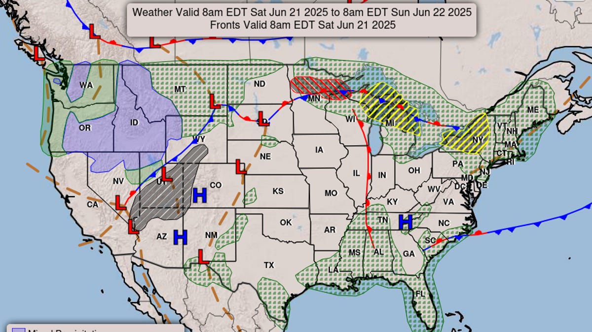
The same complex of storms that originated in North Dakota is expected to move eastward through the Great Lakes region during the day on June 21 and into New York and New England by night, the National Weather Service said. The storms could bring localized flash flooding, strong wind gusts and hail.
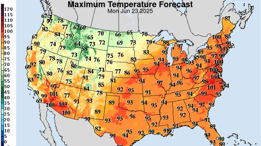
The storms come as much of the nation is undergoing a “significant and extremely dangerous heat wave” into next week, according to the weather service.
A high-pressure system over the Southeast was creating a clockwise air flow, which brought moisture from the tropical East Pacific across the Plains, said Bryan Jackson, a meteorologist at the Weather Prediction Center. It’s the peak of the summer dome of heat and high pressure that meteorologists sometimes refer to as a “ring of fire,” Jackson said.
AccuWeather reported that groups of thunderstorms are expected to form at the edges of the dome of hot air, causing the ring of fire effect.
As it moves east, the storm system could evolve into a derecho, a damaging wind event that spans hundreds of miles, AccuWeather reported. A derecho is also known as an “inland hurricane.”
An area of high-pressure area lingering over the Appalachian region, flanked by a trough of low pressure over the Great Basin, allows thunderstorms to develop around the edges in a ring shape. The clockwise airflow pulls in moisture from the Eastern Pacific, the same region that’s been cranking out tropical storms over the past week.
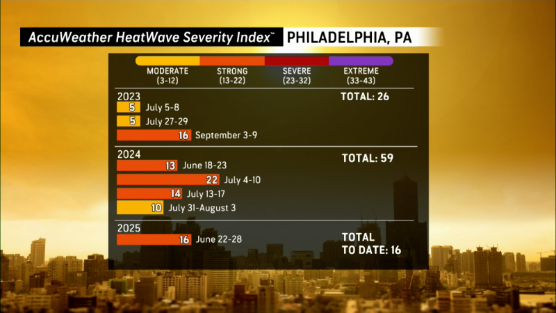
Heat bakes eastern half of US
Meanwhile, more than 150 million Americans were under some kind of advisory or warning for dangerous heat across much of the eastern half of the country.
Temperatures on June 21 are expected to meet or exceed 90 degrees in parts of over two dozen states, according to the weather service. Triple digits are expected in parts of Kansas, Nebraska and southwestern Minnesota. The heat wave is expected to last several days and extend eastward, with major cities along the East Coast including New York and Washington, D.C., expected to top 90 for five to seven consecutive days.
Contributing: Dinah Voyles Pulver


Related Posts


Stay Informed With the Latest & Most Important News
Previous Post
Next Post


Advertisement