


Now Reading: Hurricane forecasters are adjusting their outlook for distant system
-
01
Hurricane forecasters are adjusting their outlook for distant system
Hurricane forecasters are adjusting their outlook for distant system

Hurricane forecasters are intently watching a distant system that has divided models on its potential strength and path.

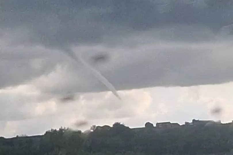
Hurricanes in both oceans heat up busy storm season
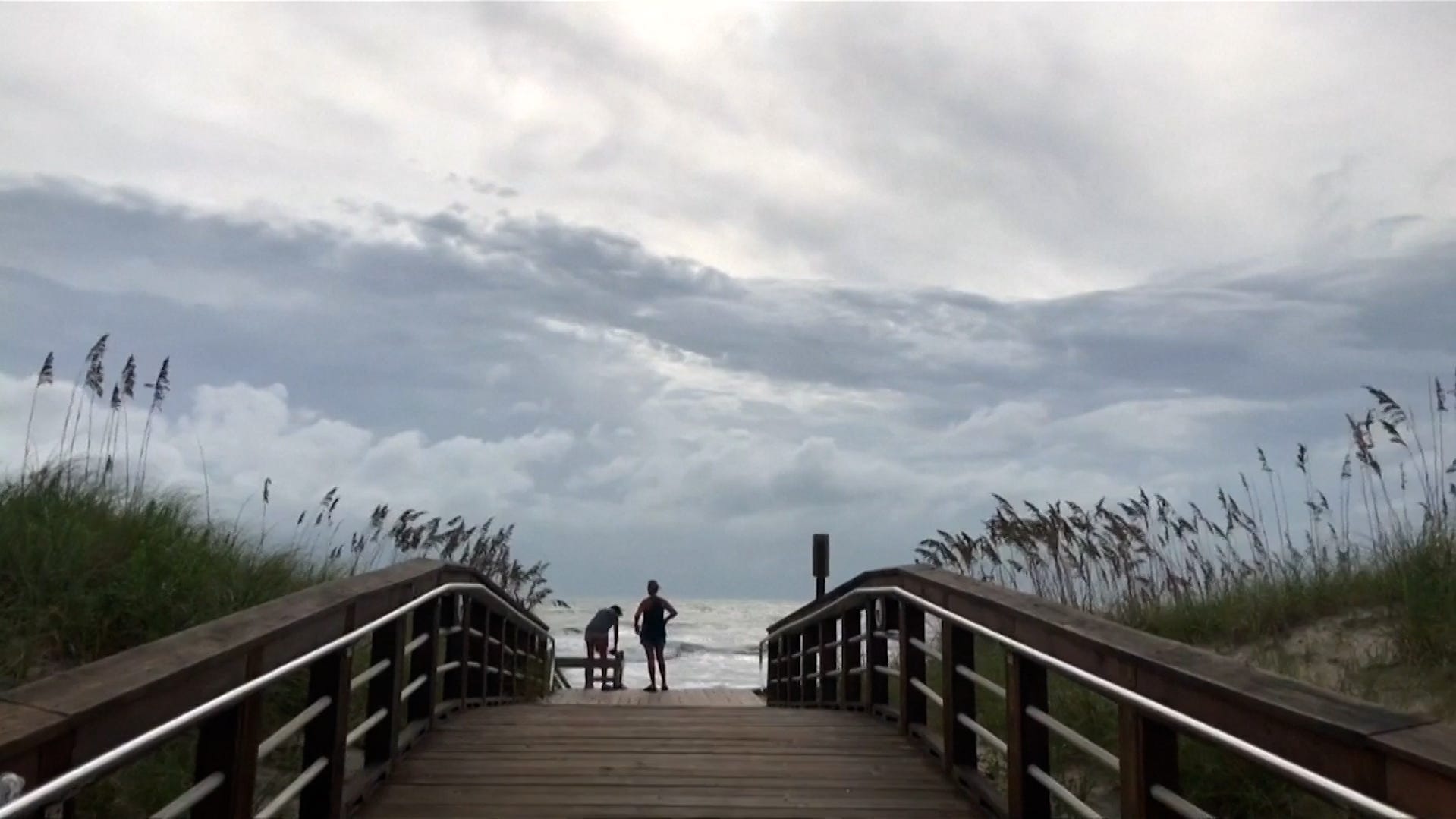
Multiple storm systems in both the Pacific and Atlantic Oceans are wreaking havoc on coastal areas, with even more to come.
If you’re one of those worrying about the tropical wave about 2,000 miles east of Puerto Rico that’s drifting slowly westward, take a deep breath. Any answers about this potential storm’s eventual track or intensity may not be immediately forthcoming.
The National Hurricane Center on the afternoon of Sept. 5 downgraded its forecast for potential storm formation within the wave, dropping the chances of a tropical depression or tropical storm developing over the next five days, first from 90% to 70%, and then to 60% in an 8 p.m. update.
Many of the latest forecast models emerging indicate that if anything at all develops out of the tropical wave, that it would only be a tropical depression, and may never even make it to named storm status. So the eventual path and strength of any organized storm that does develop is still very much an uncertainty.
“A drier air mass is limiting the potential for development over the next couple of days, and environmental conditions will remain only marginable favorable thereafter,” the center said.
A few models still suggest it could become a named storm or even a minimal hurricane, so interests in the northeastern Caribbean are being advised to continue monitoring the forecast.
What do the latest forecast models say?
The forecast scenarios have been shifting daily, in part because there’s not yet a developed center or structure, which makes a forecast much more difficult. The name due up for the next named storm – Gabrielle – may have to wait for the next storm that appears.
At first it appeared the wave, moving slowly westward in the Atlantic, could take a northward path and miss any landfalls, based on the range of computer models that take volumes of data and help forecast a storm’s potential track and strength. But those models remained all over the place on the morning of Sept. 5.
“For a while, it appeared an atmospheric pattern farther north in the Atlantic might pick up the system and take it out to sea,” said Andrew Hazelton, an associate scientist at the University of Miami’s Cooperative Institute for Marine and Atmospheric Studies.
Now the early model scenarios are looking less likely and some of those forecasts could be “one of the bigger global model forecasts busts of the last several seasons I think,” Hazelton posted on X on Sept. 5. Satellite photos on the morning of Sept. 5 continued to show no clear circulation, he said.
It’s very much uncertain how strong any developing storm would be, Hazelton told USA TODAY. The forecast models are not in agreement, and some show it becoming only a weak system that falls apart in the Caribbean, he said, while others indicate it could be stronger.
At least for a few days, even if atmospheric patterns over the Atlantic to the north don’t pick up the wave and carry it out to sea, Hazelton said the winds to the north will be providing dry air that could interfere with any development.
The wave is still too far to the east to send routine Hurricane Hunter flights. The National Hurricane Operations Plan states Hurricane Hunter flights will be sent to get fixes on storm location once a hurricane is with 500 miles of landfall or west of the 52.5 longitude line.
Most scenarios keep anything that develops at tropical storm strength or weaker during its travels toward the Caribbean, said Michael Lowry, a hurricane specialist with WPLG 10 News in South Florida.
However, the model groups that do develop the wave into something more “tend to be on the strong side” by later in the week, Lowry said. Regardless of the trends, he’s advising people in the Leeward Islands, including the Lesser Antilles, Virgin Islands and Puerto Rico, to keep close tabs on the storm.
Is there a potential for a hurricane?
Among the meteorologists talking about the potential for a hurricane is the team at AccuWeather.
“The storm can intensify as a hurricane as it continues to traverse to the west,” Jonathan Porter, chief meteorologist at AccuWeather, told USA TODAY just before 1 p.m. on Sept. 5.
“As it gets farther west, it’s going to be in an area where there appears to be very little wind shear,” Porter said. Couple that with very warm water in the Caribbean and it “suggests it could become a hurricane.”
Porter said the weather company uses nearly 200 models and that “many of them do suggest that it could become a hurricane.” He pointed to one of NOAA’s more skillful models, which did show on the morning of Sept. 5 that the developing storm could become a Category 1 Hurricane “as long as it’s able to sustain itself.”
The private weather company wrote in an advisory on the storm, updated on the morning of Sept. 5: “By the middle of next week, the Leeward Islands could experience deteriorating conditions from a hurricane passing close by or right over the region, including torrential rain, powerful winds and rough seas,”
AccuWeather meteorologists say they expect “a zone of 100-120 mph winds to pass through parts of the northeastern islands of the Caribbean,” and there could be a band of 4 to 8 inches of rainfall.
Hurricane season will be a busy one, experts say
Dr. Michael Brennan, Director of the National Hurricane Center, said he expected a busy hurricane season and urged people to begin to prepare.
Dinah Voyles Pulver, a national correspondent for USA TODAY, has written about hurricanes, tornadoes and violent weather for more than 30 years. Reach her at dpulver@usatoday.com or @dinahvp on Bluesky or X or dinahvp.77 on Signal.


Related Posts
Stay Informed With the Latest & Most Important News


Advertisement


